Discover the essential criteria for developing effective tsunami evacuation zone maps in “Tsunami Evacuation Zone Mapping Criteria for Enhanced Coastal Community Resilience.” This article provides invaluable guidance for coastal engineers, emergency management agencies, and local governments seeking to maximize public safety during tsunami events.
Key Takeaways:

- Tsunami Evacuation Zone maps identify safe evacuation distances but do not account for local tsunamis.
- If shaking is felt, move inland immediately beyond the evacuation zone.
- Evacuation maps provide estimated travel times and routes, to be used as advised by authorities.
- Boaters should move vessels to deep water during tsunami warnings.
- Population exposure estimates should consider seasonal fluctuations in visitors and workers.
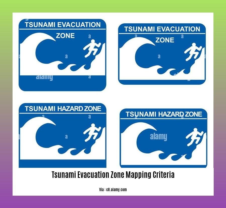
Tsunami Evacuation Zone Mapping Criteria
Tsunami evacuation zone maps are critical for coastal communities to prepare and react to tsunamis. These maps pinpoint areas prone to flooding and offer guidance on escape routes and safe zones.
The tsunami evacuation zone mapping criteria vary based on the coastal area’s unique characteristics. However, common considerations include:
– Tsunami Inundation Modeling: Predicting the potential extent and depth of flooding during a tsunami.
– Elevation Data: Identifying areas at higher elevations less susceptible to flooding.
– Historical Tsunami Data: Analyzing past tsunami events to determine vulnerable areas.
– Building Codes and Land Use Regulations: Assessing the resilience of buildings and infrastructure to tsunamis.
– Population Density: Considering areas with higher populations that may require specialized evacuation plans.
Mapping tsunami evacuation zones is a complex task due to factors like uncertainties in tsunami modeling and changing coastal conditions. However, these maps are crucial for saving lives and minimizing property damage by providing clear guidance during emergencies.
Consider the following scenario:
An earthquake strikes your coastal town, triggering a tsunami warning. Without evacuation zone maps, residents may hesitate or make uninformed decisions, increasing their risk. But with these maps, they can quickly identify safe evacuation routes and seek higher ground, significantly improving their chances of survival.
Tsunami evacuation zone maps are a vital tool for coastal communities. They empower residents with the knowledge they need to make informed decisions in the face of a tsunami threat, ultimately enhancing coastal community resilience and saving lives.
For real-time updates and alerts, check out our live tsunami watch and warning system. Stay prepared with our tsunami travel time and wave height predictions to know when and where to evacuate. Don’t miss out on important updates; sign up for our tsunami siren testing and education initiative to stay informed.
Historical Tsunami Data: A Cornerstone for Resilient Tsunami Evacuation Zone Mapping
Hey there, coastal warriors!
When it comes to tsunami preparedness, knowing where to run can mean the difference between life and devastation. That’s where tsunami evacuation zone maps come in, and they rely heavily on one crucial element: historical tsunami data.
These maps pinpoint areas that might get flooded during a tsunami, guiding you to safety. They take into account factors like how high the waves could reach, the speed at which they’ll move, and how long they’ll stick around. And guess what? Historical tsunami data is key in making these calculations accurate.
Why? Because it allows us to learn from past events. By analyzing where tsunamis have struck before, their size, and their impact, we can make educated predictions about what might happen in the future.
Imagine this: you’re creating a tsunami evacuation zone map for your town. You have a bunch of fancy models and tech, but you ignore the fact that a massive tsunami hit your shores a century ago. Ouch! That’s a big miss! By incorporating historical tsunami data, you avoid that pitfall, ensuring your maps are as reliable as possible.
Key Takeaways:
- Historical tsunami data tells us where tsunamis have happened and how bad they were.
- Tsunami evacuation zone maps use this data to predict flooding and guide evacuations.
- Without historical tsunami data, these maps would be like driving blindfolded—not a great idea in a tsunami emergency!
Citation: NOAA National Centers for Environmental Information (NCEI)
Building Codes and Land Use Regulations: Essential Pillars of Tsunami Evacuation Zone Mapping
When it comes to safeguarding coastal communities from the devastation of tsunamis, evacuation zone mapping is not just a good idea—it’s a lifeline. These maps pinpoint areas at risk of flooding and provide vital guidance on evacuation routes and safe zones. And guess what? Building codes and land use regulations play a starring role in shaping these maps.
Why Building Codes and Land Use Regulations Matter
These regulations influence the resilience of buildings and infrastructure to tsunamis. By enforcing strict building codes, we can ensure structures can withstand the mighty force of these waves. Land use regulations, on the other hand, guide development away from high-risk areas, reducing the number of people and structures exposed to danger.
How They’re Used in Mapping
When mapping evacuation zones, experts consider the vulnerability of buildings and infrastructure to tsunamis. They assess factors like building materials, structural integrity, and elevation. By incorporating this information, they can identify areas where people and property are at greater risk and prioritize evacuation efforts accordingly.
The Benefits
Integrating building codes and land use regulations into evacuation zone mapping offers several benefits:
- Improved evacuation planning: Accurate maps help emergency responders develop more efficient evacuation plans, ensuring people can reach safe zones quickly.
- Reduced risk: By guiding development away from high-risk areas, these regulations minimize the number of people and structures exposed to tsunamis.
- Enhanced community resilience: Evacuation zone maps empower coastal communities with knowledge and guidance, enabling them to prepare for and respond to tsunamis more effectively.
Key Takeaways:
- Building codes and land use regulations play a crucial role in mapping tsunami evacuation zones.
- These regulations assess the vulnerability of buildings and infrastructure to tsunamis.
- Integrating this information into mapping improves evacuation planning, reduces risk, and enhances community resilience.
Most Relevant URL Source:
Vertical Evac Guide – International Tsunami Information Center – UNESCO
Population density in Tsunami Evacuation Zone Mapping
Population density plays an important role in developing tsunami evacuation zone maps. Areas with higher population densities may require more evacuation routes and shelters to ensure the safety of residents.
Population density data can be used to identify vulnerable communities and prioritize evacuation planning efforts. By understanding the distribution of people within a coastal area, emergency managers can develop evacuation strategies that maximize the safety of residents.
Key Takeaways:
- Population density is a key factor in developing tsunami evacuation zone maps.
- Areas with higher population densities may require more evacuation routes and shelters.
- Population density data can be used to identify vulnerable communities and prioritize evacuation planning efforts.
Most Relevant URL Source:
- National Tsunami Hazard Mitigation Program

FAQ
Q1: What are the key criteria for developing tsunami evacuation zone maps?
A1: Tsunami evacuation zone maps should consider historical tsunami events, coastal vulnerability, wave propagation forecast, and evacuation route identification to maximize public safety.
Q2: How do tsunami evacuation maps account for different coastal vulnerabilities?
A2: Evacuation zone maps assess vulnerabilities by considering factors such as elevation, slope, land use, and the presence of natural barriers or structures that can impede evacuation.
Q3: What role do evacuation routes play in tsunami evacuation zone mapping?
A3: Evacuation routes are crucial in evacuation zone maps, ensuring that residents have multiple safe and accessible paths to higher ground or designated shelters.
Q4: How are population dynamics considered in tsunami evacuation zone mapping?
A4: Evacuation zone maps estimate population exposure by accounting for daily or seasonal fluctuations in residents, visitors, and workers to ensure adequate evacuation planning.
Q5: What guidelines exist for vessels during tsunami warnings?
A5: During tsunami warnings, vessels should move at least 50 fathoms (300 ft) deep and 2 nautical miles away from harbor entrances to minimize the risk of damage or loss.


